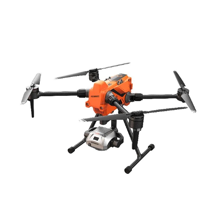
Fennec Survey RTK
Mapping, crop monitoring, inspection
Professional RTK quadcopter for mapping and inspection: up to 63 minutes of flight, centimetre positioning, omnidirectional obstacle sensing, link up to 15 km. Payload of your choice: mapping camera or multi-sensor gimbal with thermal.
63 minFlight time
1 cm + 1 ppmRTK accuracy
15 kmLink range
Price on quotation, in Algerian dinars
The quote includes delivery, commissioning and training. Price depends on configuration (batteries, RTK, spreading module).
Technical specifications
| Flight time | Up to 63 min (no payload) |
|---|---|
| Battery | 6S 16 400 mAh |
| Charging time | ≈ 120 min |
| Max. take-off weight | 7 kg (4.05 kg with battery) |
| Dimensions | 549 × 592 × 424 mm |
| Water / dust rating | IP55 |
| Operating temperature | −20 to 50 °C |
| Wind resistance | Level 7 |
| Obstacle sensing | Omnidirectional obstacle sensing |
| RTK | 1 cm + 1 ppm (H) · 1.5 cm + 1 ppm (V) |
| Controller | 7" high-brightness controller, 15 km link |
Manufacturer data. "On request": value to be confirmed for your configuration.
What's in the kit
- Fennec Survey RTK drone
- Payload per configuration (mapping camera or multi-sensor gimbal)
- 7" screen controller
- Batteries and charger
- Transport case
- Access to Fennec Insight (maps and reports)
Delivery is subject to acquisition and import authorisations issued by the CNSAPB. We support you through the process.
Uses
Other models
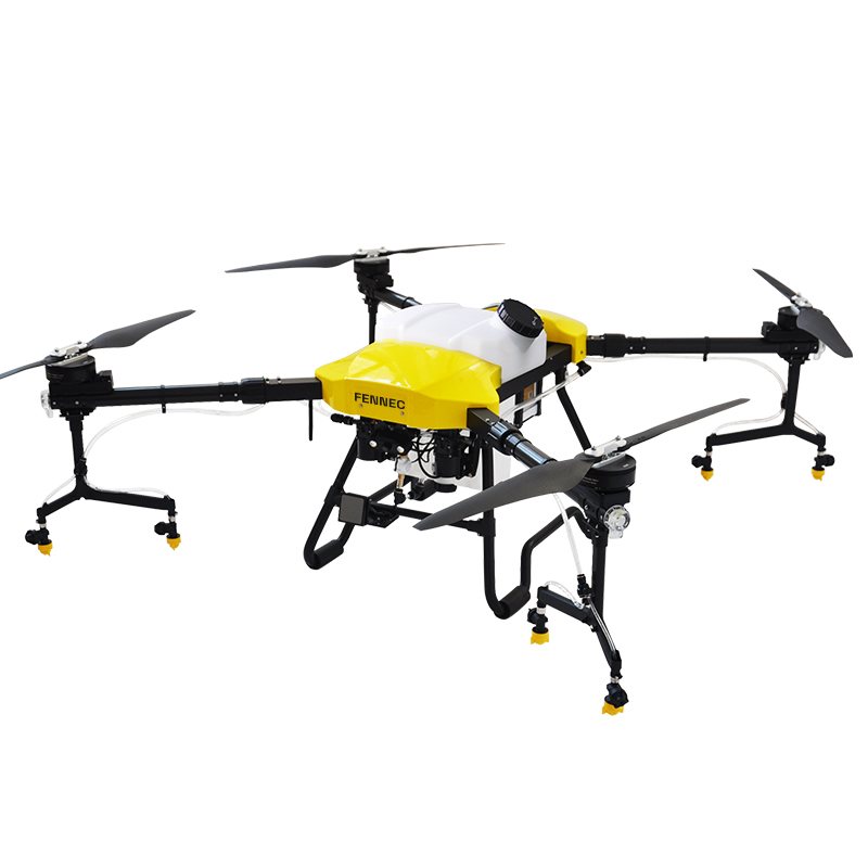
Orchards, vegetables, date palms, mid-sized farms
Fennec Agri 20
- Tank
- 20 L
- Spray width
- 5–7 m
- Rated output
- 9–10 ha/h
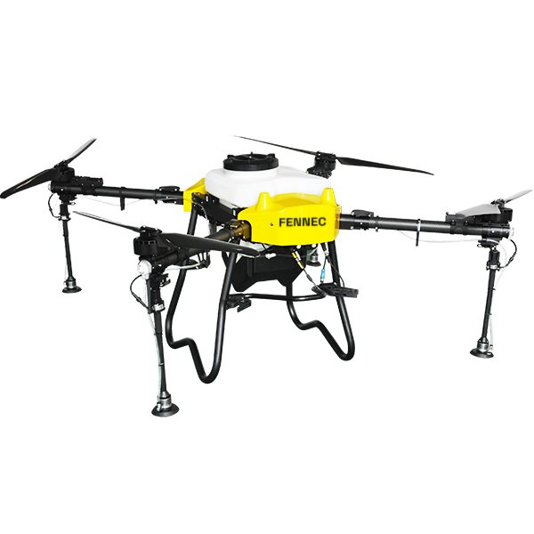
Potatoes, cereals, large farms, contractors
Fennec Agri 40
- Tank
- 40 L
- Spray width
- 10–12 m
- Rated output
- 16–18 ha/h
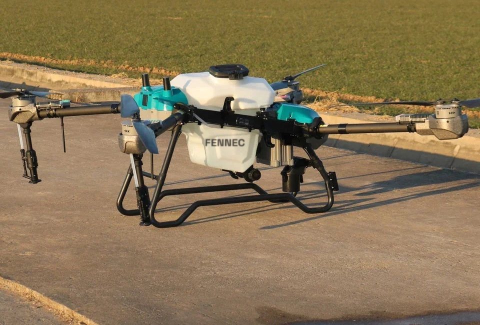
Very large areas, cereals, high-volume contracting
Fennec Agri 70
- Tank
- 70 L
- Spray width
- ≤ 12 m
- Rated output
- ≈ 3 ha / flight
A demo on your field
Tell us your wilaya, crop and area. We will call you back to arrange a test flight.